

Te Whanganui-a-Tara – The release today of new sea level rise data underlines the need for a low emission, climate resilient future for Aotearoa.
Data from the NZ SeaRise programme confirms why New Zealand must prioritise action to cut emissions and prepare communities for unavoidable climate impacts.
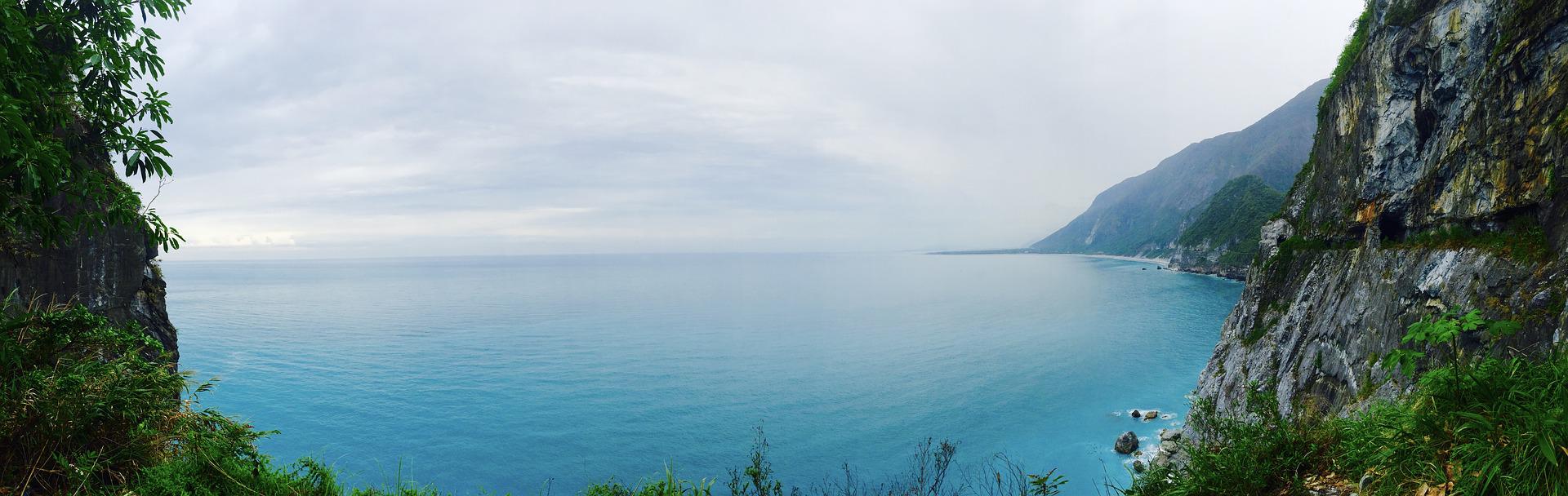
The NZ SeaRise: Te Tai Pari O Aotearoa programme has released data today showing the projected impact of sea level rise around the coast of Aotearoa New Zealand.
Sea level rise has been a known consequence of climate change for many decades. What this data helpfully does is update the evidence for what sea level rise will mean for Kiwis in years to come, Climate Change Minister James Shaw says.
“Data shows why we must continue to build on the progress government has made over the last four years to build a climate-friendly, prosperous future for Aotearoa.”
Later this month government will publish New Zealand’s first ever plan to cut emissions in every part of the country. Collectively, the actions that will make up the emissions reduction plan will meet the climate targets. Achieving the targets will improve towns and cities and help to create climate friendly places for people to live and work.
Government is asking Kiwis for feedback on New Zealand’s first ever national adaptation plan which will help prepare for the impact of climate change.
The new sea level rise data provides further evidence of the challenges ahead. Aotearoa
needs a more sustainable agriculture sector, less air pollution, warmer, drier homes, new technologies, the protection of native species and eco-systems and resilience.
Data released today shows sea level rise projections out to the year 2300 for every two km of the coast of Aotearoa.
The projections can be accessed through a new online tool developed by Takiwā, a data management and analytics platform. For the first time, New Zealanders will be able to see how much and how fast sea level will rise along their own stretch of coast and in their neighbourhood.
The tool allows users to click on a particular location on the coast and see how much sea level is expected to rise, and by when, under different climate change scenarios.
Climate change and warming temperatures are causing sea level to rise, on average, by 3.5 mm per year. This sea level rise is caused by thermal expansion of the ocean, by melting glaciers, and by melting of the Greenland and Antarctic ice sheets.
Sea level rise around the coast of Aotearoa is affected by up and down movements of the land. The vertical land movements occur in large jumps during earthquakes, but less obvious to us are the smaller shifts that occur continuously in between large seismic events.
NZ SeaRise is a five-year research programme bringing together 30 Kiwi and international experts. The sea-level projection and mapping tool was developed by Takiwā, a Māori-owned data management and analytics platform.