

Ōtautahi – A cold front pushes over the North Island today then another one over the South Island overnight. Aotearoa can expect strong westerly winds with heavy falls in the west particularly when fronts move through.
A number of fronts will move through from the Tasman Sea over the coming days as a storm in the Southern Ocean continues to grow and deepen.
WeatherWatch.co.nz says the off and on stormy weather will linger in New Zealand until the middle of next week, all generated by the same system.
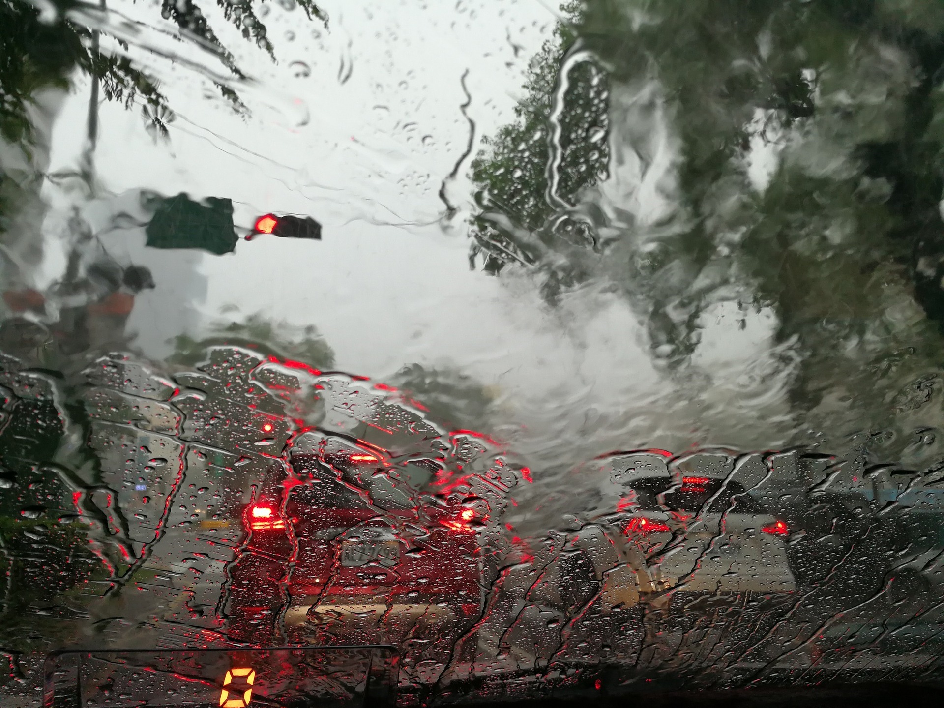
As forecast yesterday an active cold front is this morning moving into the western side of NZ with scattered thunderstorms, squalls and even hail.
Large hail has been recorded on the West Coast today with a damaging shower a short time again producing hail larger than grapes. Severe thunderstorms are impacting the lower North Island with more isolated storms elsewhere.
The weather in the coming days will be similar with several surges of squally showers off the Tasman Sea caused by a storm still deepening south of NZ – and likely to remain there until early next week
Meanwhile, the World Meteorological Organisation says there is a high probability that the ongoing protracted La Niña global event, which has affected temperature and precipitation patterns and exacerbated drought and flooding in different parts of the world, will continue until at least August.
Some long-lead predictions even suggest that it might persist into 2023. If so, it would only be the third triple-dip La Niña since 1950.
La Niña refers to the large-scale cooling of the ocean surface temperatures in the central and eastern equatorial Pacific Ocean, coupled with changes in the tropical atmospheric circulation, namely winds, pressure and rainfall.
It usually has the opposite impacts on weather and climate as El Niño, which is the warm phase of the so-called El Niño Southern Oscillation.
The ongoing drought in the Horn of Africa and southern South America bear the hallmarks of La Niña, as does the above average rainfall in South-East Asia and Australasia and predictions for an above average Atlantic hurricane season.
However, all naturally occurring climate events now take place in the context of human-induced climate change, which is increasing global temperatures, exacerbating extreme weather and climate, and impacting seasonal rainfall and temperature patterns.
The current La Niña event started in September 2020 and continued through mid-May 2022 across the tropical Pacific.
There was a temporary weakening of the oceanic components of La Niña during January and February 2022, but it has strengthened since March 2022.