

Te Whanganui-a-Tara – MetService is forecasting a cold southerly outbreak this week, which is set to bring cold temperatures, rain and the first noteworthy snowfalls of the year to Aotearoa New Zealand.
A cold front moves over the country from tonight and brings a blast of cold air and rain. This rain will fall as snow on mountains and elevated areas.
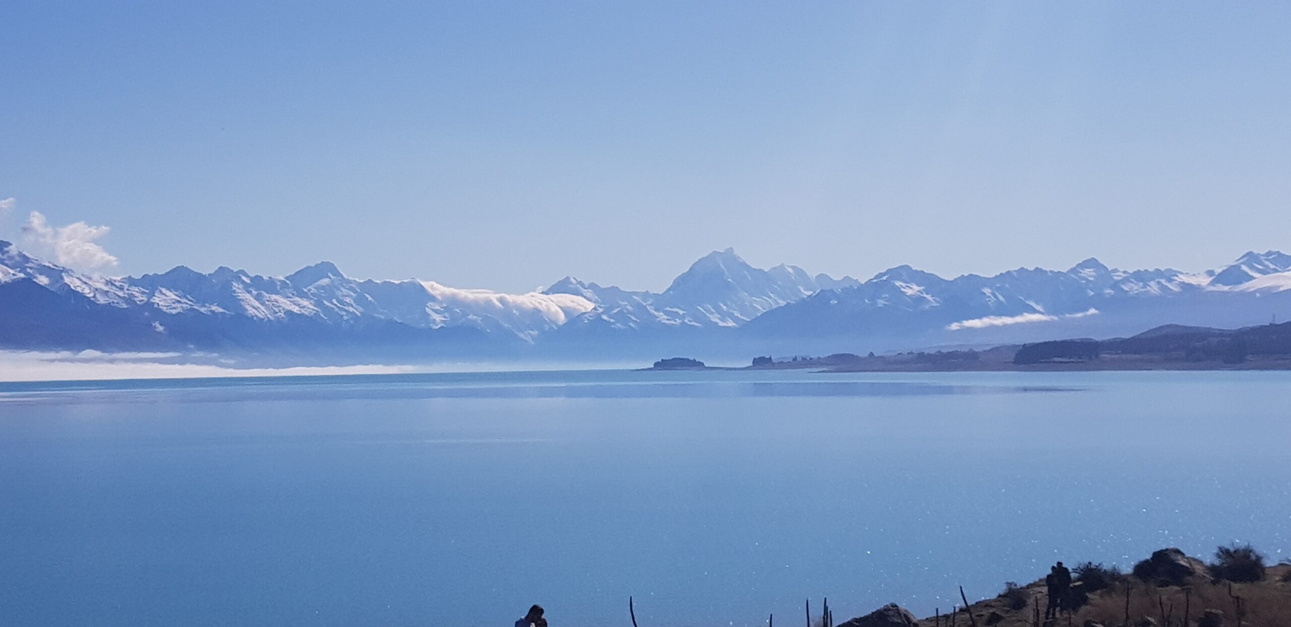
MetService says it expects snow levels as low as 400 to 700 metres above sea level over the southern and eastern parts of the South Island.
MetService meteorologist Mmathapelo Makgabutlane says the Queenstown-Lakes and Central Otago districts may get noticeable snow accumulations from early morning Tuesday, where the first MetService heavy snow watch of the year has been issued until midday Tuesday.
These snowfalls may affect high country farms as well as high-level roads and mountain passes. Road snow warnings have been issued for Lewis Pass, Porters Pass, Lindis Pass and the Crown Range Road for the potential of snow settling on the road.
Over the North Island mountains, snowfalls will be brief on Wednesday morning.
Below the snow in the mountains, other areas will experience a sharp drop in temperatures that will be strikingly felt, both in the daytime maximum temperature, as well as overnight minimum temperature.
Christchurch and Wellington city only get a high of 12C on Wednesday, which will likely feel colder due to the wind chill effect from those punchy southerlies over the eastern South Island and lower North Island.
Overnight temperatures will be near freezing for parts of Southland and Otago into Wednesday morning and central North Island Thursday morning, so no doubt those winter blankets will come in handy this week, Makgabutlane says.
The Chatham Islands don’t escape the weather. After a showery start to the week, Wednesday and Thursday bring periods of rain, gale force winds and large southwesterly swells.
The east coast of the North Island will also likely see large swells on Wednesday, with a second pulse on Thursday. MetService advises people to take care in coastal areas.
A ridge of high pressure towards the end of the working week flips the script and ushers in a settled close to the month.
After a dip mid-week, it will certainly be a brighter start to April 2023, Makgabutlane says.